Troy At Night
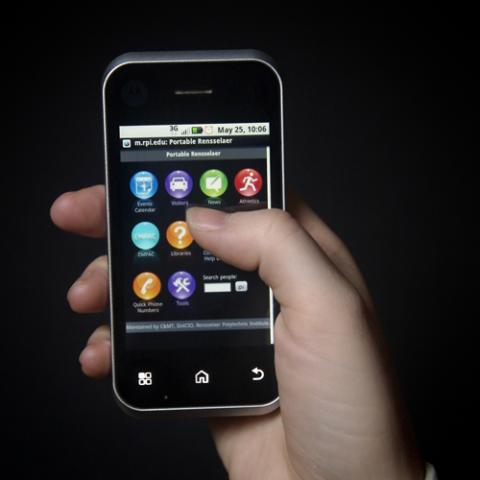
I went to school at Rensselaer and decided to stay in Troy after graduating with a BS in Information Technology. After working at a few places in town, I was hired to work there in a central middleware group - many of my projects are done in the Drupal content management system and I work to reduce the amount of data re-entry that occurs across campus by syndicating data wherever possible.
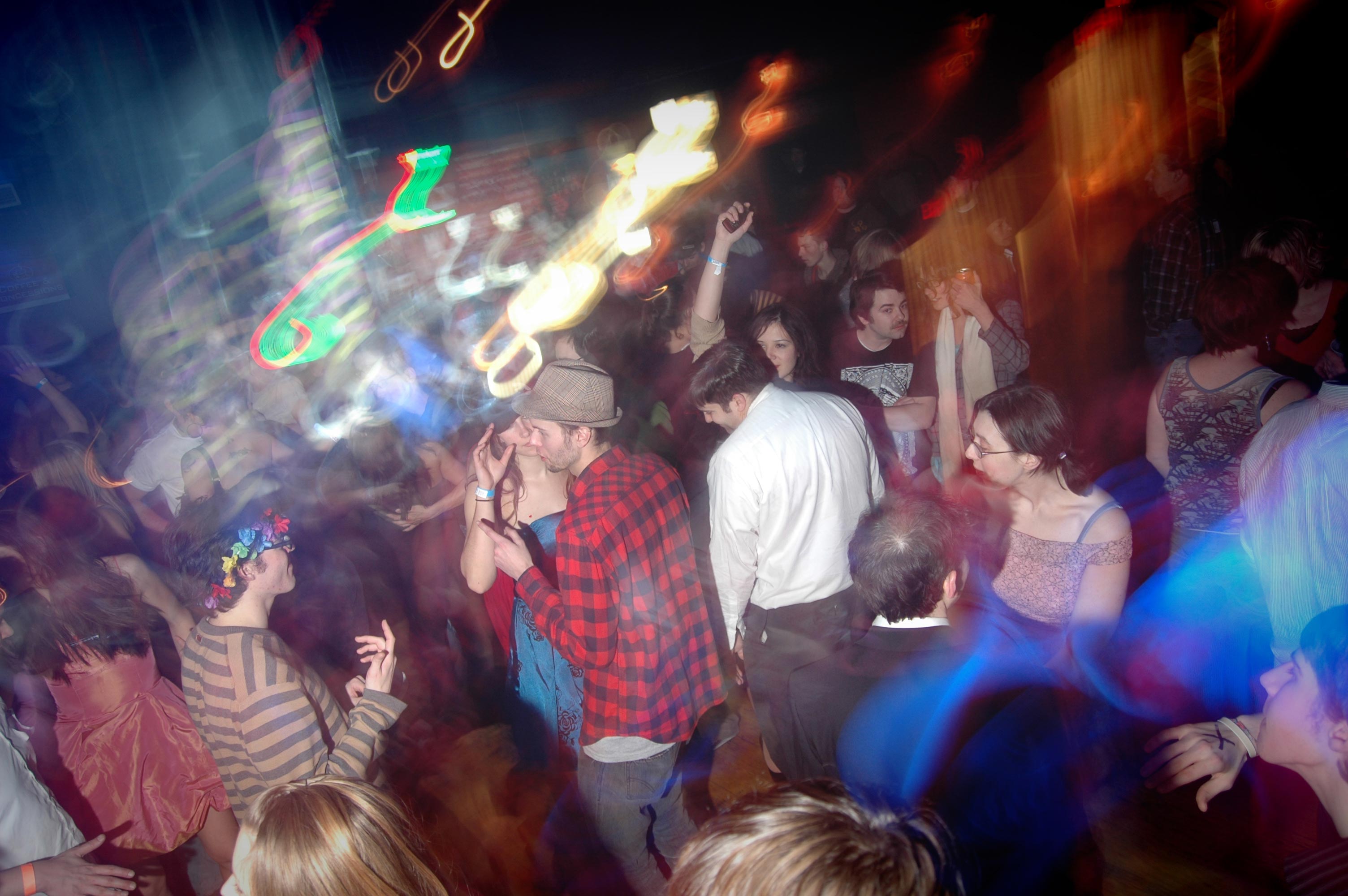
Unlit spaces always attracted my photographic attention. I found Troy at night to be awesome: a giant collision of interesting people doing interesting things. In a single night, one could spend hours in alleys, bars, dance parties, rail yards, and encampments. Newly available high quality digital cameras allowed me to take hundreds of photos in a night...a few came out great.
One night, I saw someone with a flash on a cell phone camera. Soon photos were streaming in from the bars and parties. It was time for a new challenge. A mass of iron passing in the night is a haunting experience. It is also an experience that is difficult to photograph. Photographing trains at night allows me to bring people images of activity at night few are able to see, most just hear the horn from a train in the distance.
Thoughtout my time in Troy I've been interested in its walkable downtown, historic buildings, and industrial past. First, my then-girlfriend and I moved into a row house and started fixing it up. Eight years later, with that under our belts, we (now married) bought the large industrial building adjacent to our home.
We've restored a row house (sometimes it has an apt for rent) and are currently restoring two buildings that used to be stables for a bottling plant.
Contact:
Rensselaer Polytechnic Institute, 2007-present
Rensselaer Polytechnic Institute, Troy, NY, Spring 2008, 2009, 2010
Hudson Valley Community College, Troy, NY, 2007
The Sage Colleges, Troy, NY, 2004-2007
I regularly exploit the following technologies
Rensselaer Polytechnic Institute, Troy, NY
